It’s Sunday in Florence. This is a fantastic city and, of course, I’m not the only one to realize it. On a beautiful day like today, thousands of people from all over the countryside and beyond usually come into town for a stroll in its charming streets, like Via dei Tornabuoni, Via del Corso and Via di Calzaiuoli. As the tourist season intensifies, we add tens of thousands people more to our very compact historical center. If you enjoy crowds and people watching, this is the place to be. I don’t, so I usually avoid the center of Florence on Sundays.
Today is another gorgeous winter day though. It’s a waste to spend it inside. So, how can we enjoy Florence without being in the middle of the hustle and bustle? Well, I think I know just the right path for us to walk on. From Porta Romana, the imposing 14th century city gate that controled passage to and from Rome, we follow Via di Poggio Imperiale on a path that shifts from gravel to grass back to gravel as it ascends above the road, giving us the impression of walking on the city ramparts. We pass several elegant villas and townhouses before arriving at Villa di Poggio Imperiale, a Medici residence back in the day that is now a public school. Stone lions guard the sides of the road and the villa dominates the scene at the top of the hill.

Porta Romana 
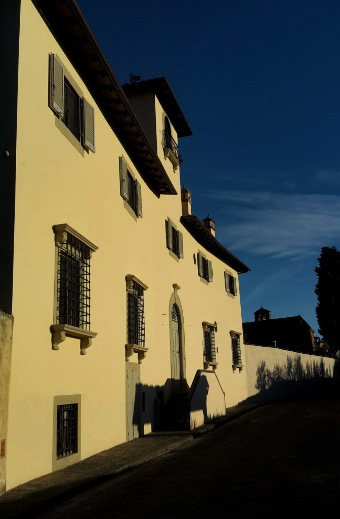
Villa di Poggio Imperiale
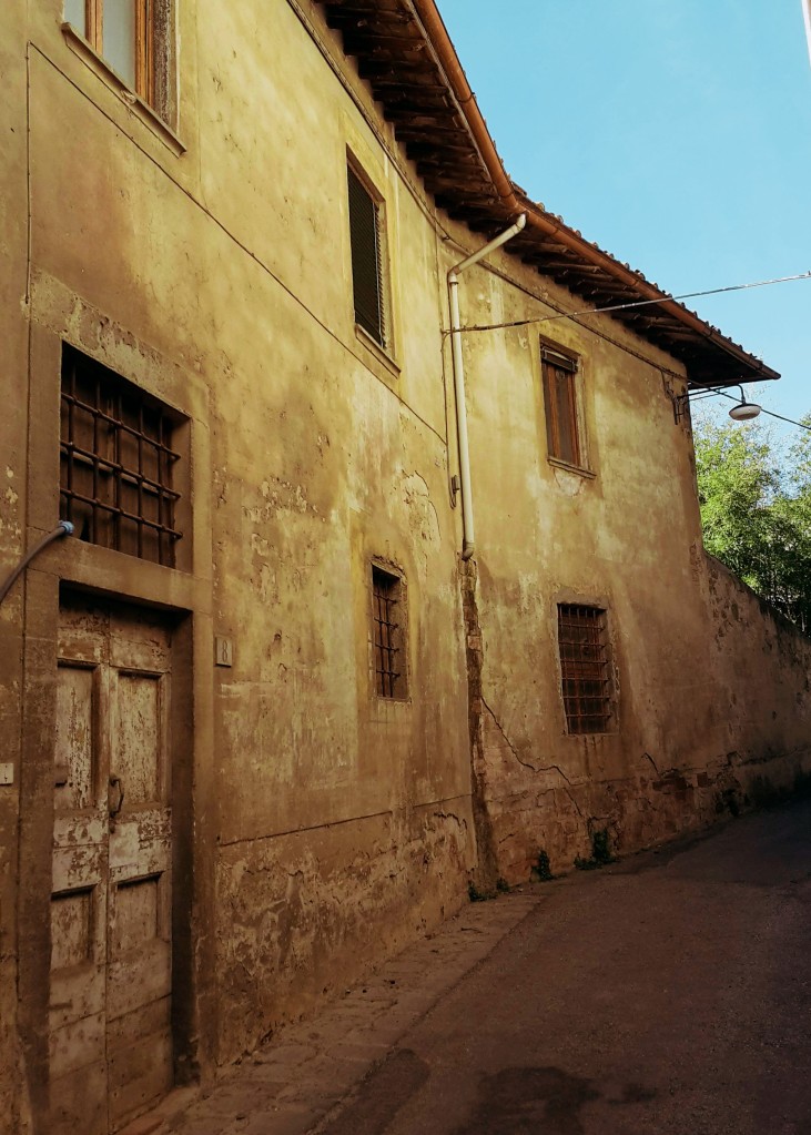
We go left and then turn right into Via Suor Maria Celeste, named after Galileo’s daughter (born Virginia Galilei) who lived in a convent on this street. We are walking in the neighborhood of Arcetri, which is tightly related to Galileo. The observatory from where he made some of his astronomical discoveries is here, still in use as part of the University of Florence. You will notice its white dome many times as we walk around these hills.
The views of the countryside around Galluzzo soon reveals itself, Renaissance style villas occasionally appearing on each side of the narrow road. Around here, no cars, no people, just chirping sparrows and fluttering turtle doves. We go by Villa Le Piazzole and turn left into Via di San Matteo in Arcetri, flanked by low stone walls and olive trees. On lucky days, it’s possible to enjoy a wonderful panorama and learn some Tuscan geography: Monte Morello, towers above Florence at 3,065 ft (934 m); moving west, the Calvana, also reaches 3,000 ft (915 m) above Prato; across from them, on our side of the Arno river, we can see all the extension of the Montalbano, which peaks at 2,077 ft (633 m) and closes the valley in the distance where it encounters the Appenines by Pistoia and Serravalle Pistoiese. Beyond these geographical features, the high Apennines and the Apuan Alps can be seen on exceptionally clear days.

The quaint Via San Matteo in Arcetri 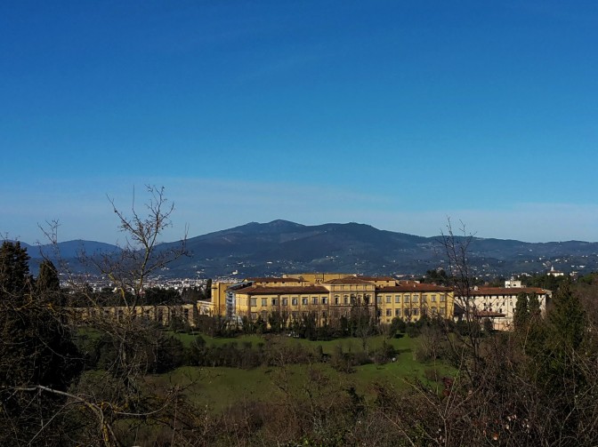
Gorgeous view of Monte Morello and Poggio Imperiale 


Continuing the hike, it is time to admire the picturesque Tuscan hills towards Impruneta, with their olive groves (silvery green year round), vineyards (vivid green in the summer), umbrella pines, cypress, almond trees (beautiful white bloom around February/March) and rosemary bushes. We soon pass the church of San Matteo in Arcetri and the convent of Sister Maria Celeste to arrive at a junction with Via del Pian dei Giullari.
We turn right, hiking along this charming street of isolated villas with some of the most beautiful panoramas over Florence and the hills of Fiesole. We head uphill to reach the romanesque church of Santa Margherita a Montici. The valley of the Ema river opens up on our right, which unfortunately also brings loud highway traffic noise since one of the main national roads connecting the north and south of Italy cuts through it. But it doesn’t take the beauty away, especially when we are further down. The Ema valley disappears, substitued by a breathtaking view of Florence, the Duomo and the church of Santa Croce, the soccer stadium, and the neighborhoods of Campo di Marte and Coverciano, with Fiesole peacefully watching over them.

Church of Santa Margherita a Montici 


View of the church of San Miniato al Monte in the distance
We continue downhill and turn left in Via Benedetto Fortini, soon arriving in the neighborhood of Gavinana, where we find 19th century townhouses in Victorian style. We could easily head to the center of Florence from here, following the Arno downstream. But we want to stay in Oltrarno and arrive at the most scenic postcard of the city: Piazzale Michelangiolo. Yes, it will be busy but it’s worth it. After all, we spent most of the walk away from it all.

So, let’s cross Viale Michelangiolo into Via dei Bastioni and turn left on Via di San Miniato al Monte, a steep uphill that coasts Florence’s most panoramic campsite. It will help us avoid the traffic of the other streets. At the top, we rejoin Viale Michelangiolo, turning left to soon arrive at the awesome Piazzale designed by Giuseppe Poggi in the late 19th century. This was one of the many projects he developed in his quest to turn Florence into a city suitable to be capital of the newly unified Kingdom of Italy and house the royal family of Savoy. His beautification works are controversial in Florence, but I’ll say he hit a homerun with Piazzale Michelangiolo. The view is amazing – any time of the day, any season of the year – and worth a thousand words. Just enjoy it.


San Miniato al Monte church
You thought our day was over? This awesome panorama just reinvigorated me, so we will head for the last leg of our walk through charming Florentine streets. First, a detour uphill to visit my favorite church in Florence: San Miniato al Monte. This 11th century basilica in romanesque style has a beautiful marble facade and it was erected in the site where the martyr St. Miniato died. As the story goes, the saint miraculously walked uphill with his head under his arm after a roman soldier beheaded him by the Arno river. Those were the days! With our heads firmly attached to our neck, we can better enjoy another gorgeous view of Florence before continuing on Via delle Porte Sante, and then turning right on Via dell’Erta Canina after we cross the road.
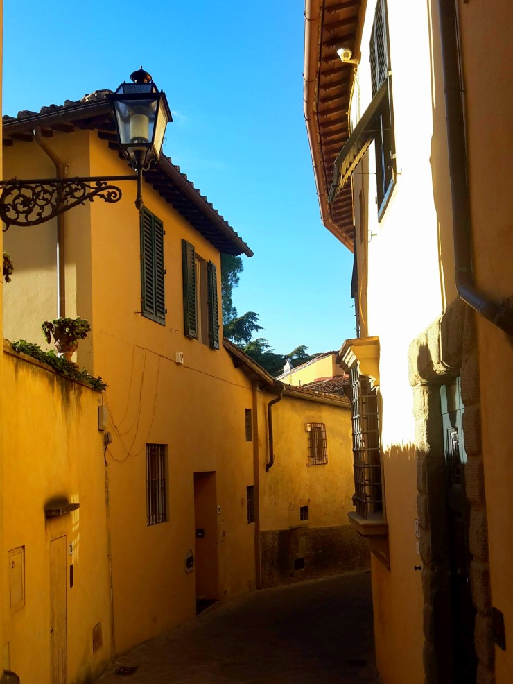
I love this street. Via dell’Erta Canina makes me feel like I’m walking in old Florence, the bright yellow townhouses paving the way to a very exclusive sight of Santa Maria del Fiore and the Duomo. My advice: take your time on the way down and savour the view.
At the very bottom, we arrive at Porta San Miniato and turn left on Via di Belvedere, the last and rather steep uphill of the day. We skirt the medieval city walls, which still stand on this side of the Arno, until we reach Porta San Giorgio and the Belvedere fort at the top of the Boboli hill. Commissioned to Buontalenti by Ferdinando I de’ Medici, the 16th century fortress is strategically located, overlooking Florence and the surrounding countryside and, of course, gifting current visitors with more spectacular views of the city.


Via di San Leonardo, another picturesque street, will take us by olive groves and villas of noble Florentine families, like the Vecchietti, and the quaint church of San Leonardo in Arcetri. We turn on Via Schiapparelli, then right on Viale Machiavelli, which will bring us all the way down the Boboli hill back to Porta Romana closing this great panoramic loop.

Poggio Imperiale – Pian dei Giullari – Arcetri
- 3h30
- 7.7mi (12.4km)
- Depart/Arrive: Porta Romana
- How to get here: Bus ATAF n.11 from Piazza Santa Maria Novella
Thank you for reading! Let me know what you think of this post and help me improve this blog.
Thank you for the detailed recommendations! I’m here now on vacation from Denver and want to get a hike in…

Happy to learn that my posts were helpful! Enjoy your hike!